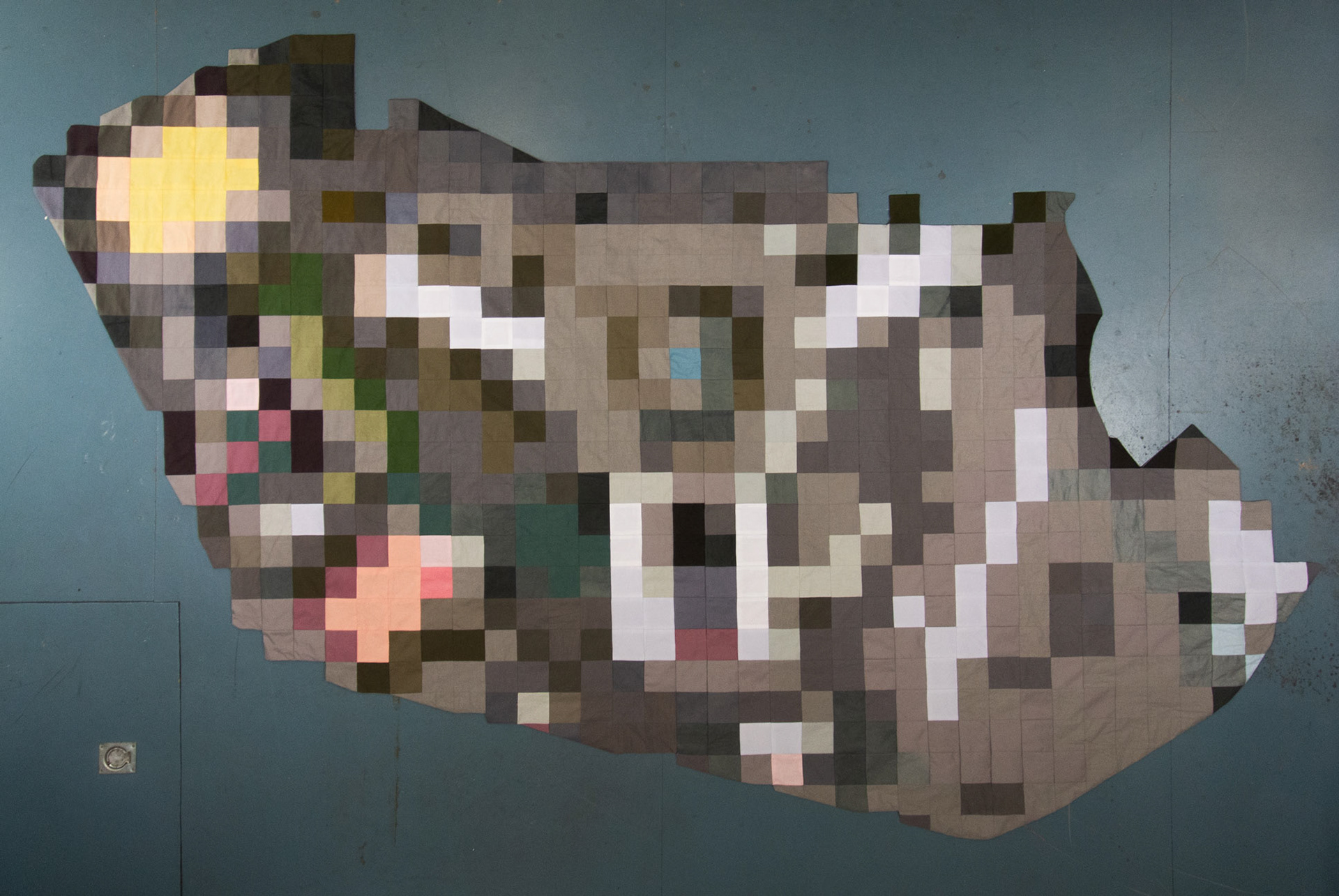
Cover up 25° 02'50.5" N, 121° 35'29.3" E
patchwork blanket, 200 x 280 cm, 2019
Some locations on publicly viewable satellite map services like Google Maps and Baidu have missing, incomplete, or blurred map data. Governments ask the services to censor sensitive areas like government buildings, military airbases and refugee camps. Different patterns are used to cover up these locations.